Mapping, Remote Sensing, and Modelling
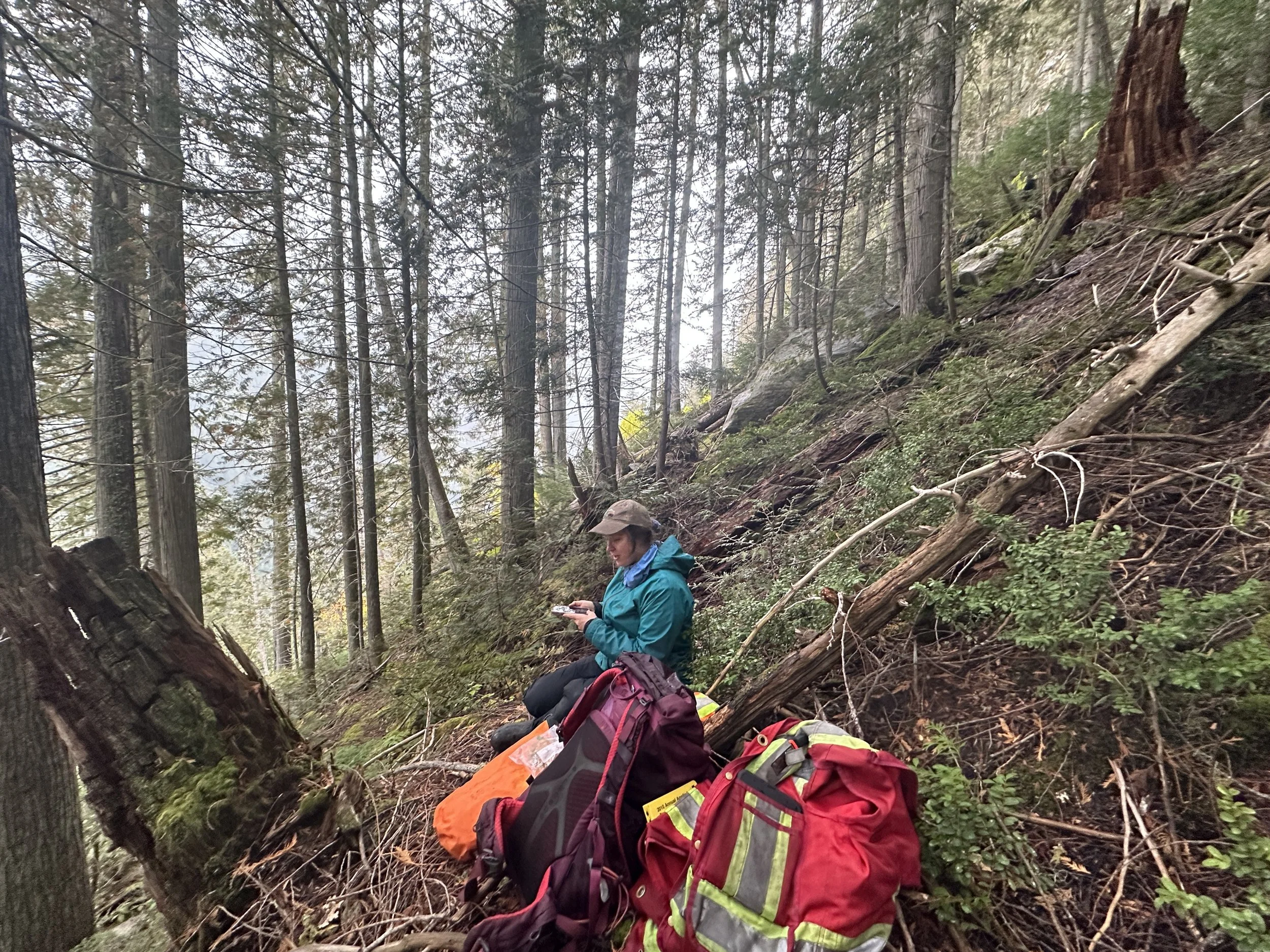
How will new developments affect ecosystems and wildlife habitat over time? Which areas are most vulnerable to climate stress, disease, or wildfire? EcoLogic helps answer these questions through mapping, remote sensing, and ecological modelling. We work closely with biologists and Indigenous Guardians to collect field data used to build detailed models and visual tools such as StoryMaps. These tools make complex ecological patterns easier to understand and share, helping communities and decision-makers engage meaningfully in land-use planning and environmental stewardship.
Services include:
Terrain and Bioterrain Mapping
Terrestrial Ecosystem Mapping (TEM)
Predictive Ecosystem Mapping (PEM)
Sensitive Ecosystems Inventory Mapping (SEI)
Habitat Distribution Models (HDM)
Soil and restoration tracking analyses
Disturbance mapping and quantification of cause-effect relationships
Landscape connectivity assessments