
BLACKWATER PROJECT
Wetland and Riparian Compensation
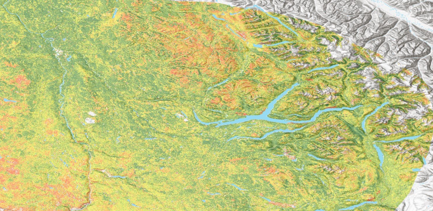
Blackwater Gold is required to compensate for loss of instream fish habitat, riparian habitat, and wetlands due the development of the Blackwater Gold Mine. Efforts to identify areas of likely habitat compensation have resulted in a deficit of eligible sites. Early in 2023, EcoLogic was retained to carry out a first pass remote sensing exercise using “big data” available for LDN and UFN traditional territory. The purpose of this exercise is to compile and analyze available remote sensing data both spatially and over time to detect areas within the territory that present the best opportunities for effective restoration, including the restoration of in stream fish habitat, riparian habitat and wetlands. EcoLogic proposes to make use of an integrated set of remote sensing technology, including historical Landsat, Sentinel-2, and aerial photographic information to feed into a decision matrix that will allow for the identification of likely fish habitat compensation sites.
The documents presented below provide a summary of the work done to date, including portions of the code used for the modelling processes. The potential site selection is presented in the the Restoration Prioritization Webmap while the remaining three web maps provide examples of the analysis examples.
Documents
-
Plain Language Methodology
A plain language summary of methods used for the 29 August 2023 model outputs.
-
Blackwater Restoration
An overview of deliverables and general summary of techniques used to identify restoration priorities.
-
Landsat Trends
A detailed summary of methods used to detect vegetation index trends.
Webmaps
-
Restoration Prioritization
Ecological Restoration Planning
-
Landsat Disturbance Estimations
Landsat disturbance for 1984 and 2020 (resampled to 100m)
-
Sentinel-2 NDVI
Example NDVI image using 2022 Sentinel-2 Imagery (resampled to 100m)
-
Sentinel-2 EVI2
Example EVI2 image using 2022 Sentinel-2 Imagery (resampled to 100m)
Additional Resource Material
-
Restoptr Decision
An initial demonstration of the restoptr method using an example restoration problem as a demo product.
-
Landsat Disturbance Pre-Processing
A detailed summary of methods used to pre-process Landsat Imagery and run through Generalized Additive Modelling.